Red Square: Whiteleys in 1869 Survey map
Blue line represents route to shopping centre through Queensway.
Not much of a difference on the main round
Above is a map of the same area and the centre in 1974. There were not to many changes, apart from construction of new buildings in some particular areas.
Above is a link to the history of the area and images and maps throughout the years in Bayswater and Hyde park zone.

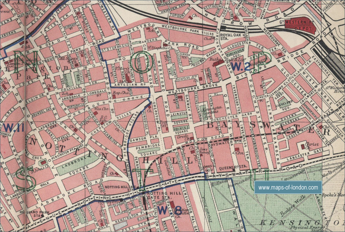
Here is another map (1940's) where Whiteleys is by Queensway to the left side.
This is the information I have gathered so far on geological maps of the area from time to time


No comments:
Post a Comment